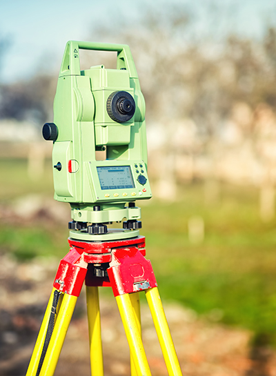
Topographic Studies
We support you with your Topographic Studies with our team of engineers. Experience, quality and personalized attention for your projects.

Our Services
To accomplish with the environmental legislation, we provide consulting in:
Characterization of hydrological basins
Flood risk maps
Delimitation of federal zones
Design and rectification of channeling rivers
Design and rectification of channeling rivers
Planning and watershed management
Erodibility studies
Infiltration volumes
Design and construction of infiltration wells
Water balance
Hydraulic modeling
Water quality monitoring
GUARANTEED QUALITY
Our experience in this transact will allow you to comply successfully and without risks,

Our work
Topographic studies
We are a consulting firm with extensive regulatory and environmental experience in different sectors at the national level. More than 500 clients recommend us.
Topographic Studies
FREQUENT QUESTIONS
What is a topographical study?
It is a technical and descriptive study of a terrain, examining the land surface in which the physical, geographical and geological characteristics of the terrain are taken into account, but also its variations and alterations.
What is a topographic survey?
It consists of a collection of data to be able to make a plan that reflects the greatest possible detail and accuracy of the terrain in question.
Single Feasibility Opinion
Contact

phone
(55) 1328 5256
Offices
Michoacán Ave. #9, Penthouse, Hipódromo, México City (CDMX)
Monday – Friday
9am – 7pm


.png)